
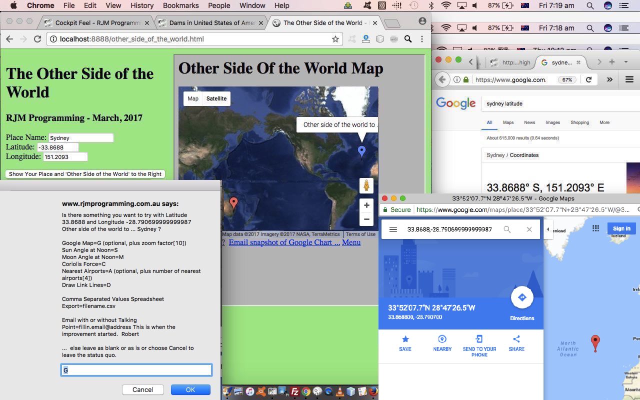
Other Side of the World Primer Tutorial
Today we’ve written a first draft of an “Other Side of the World” web application using a Google Chart Map Chart embedded into an HTML iframe element to show the user …
- the position of the place that they enter in for their latitude and longitude … as well as …
- “the other side of the world” to the position of the place that they enter in for their latitude and longitude, calculated by imagining you take a trip from your original location through the middle of the Earth and straight through onto the other location
Is this our “sister” location? Am not sure. But somebody was telling “Porkies” to me as a child where we were told “China” as being on the other side.
The code for this is just HTML (apart from the supervised PHP for the Google Chart interface) that you could call other_side_of_the_world.html if you like, or want to try out.
If this was interesting you may be interested in this too.




I like the single-row radio-play approach for keeping the controls compact while still making each selection clear. When I’m checking a calculation alongside a tutorial, I use StepStat to see the intermediate steps; how do you handle the layout when the playlist gets much longer?