CAD or Computer Aided Design has been an area of continual improvements in sophistication with software as computer power, generally, grows. It was once a strictly two dimensional idea and it took off, particularly in the fields of surveying, photogrammetry and mapping in the early days of its transition to three dimensional capability, but even if you think of it in terms of two dimensions, it has served well with hard copy digitising of maps used for municipal mapping (for example, Ordnance Survey in the United Kingdom, where at one job I had we refined and refined our hard copy digitising skills until the standard was good enough to create publishable maps for Ordnance Survey). In photogrammetry the relationship is pretty direct with the taking of aerial photographs, with overlap, and using photogrammetrical machines to view the overlap areas for the third dimension (isn’t that amazing?!) and follow this up with mapping as the basis for mining activities (like borehole placement) or road and rail transport route planning etcetera etcetera. Just remembered one oddity in etcetera etcetera … we used to tell the coal mines the volume of coal in their heaps using photogrammetry!
Back in the 1980’s and early 1990’s there were big players like Integraph, MicroStation and AutoCAD, and although AutoCAD had the biggest market, I thought Bentley MicroStation was the bees knees for quality and they had this beautiful software SDK which created MDL programs which run on these massive NASA looking mapping workstations that always had two huge display screens for the purposes of accuracy (have you ever “snap closed” a contour in a very steep gully … what were you doing in the gully?) and multiple window functionality. The maps created from this were just beautiful and it has helped me love maps of any kind with quality, ever since. Think the people who are always interested in the “where” of life have been well looked after by I.T. and the CAD side of the industry, especially now with the geopositioning capabilities of mobile smart phones (even the ones that give you a dumb look).
So back to now, and revisiting CAD, think AutoCAD still controls industry standards, building on its architectural base of users perhaps, and with DXF files there is an interface to the web (though it failed me in the tutorial, am sorry).
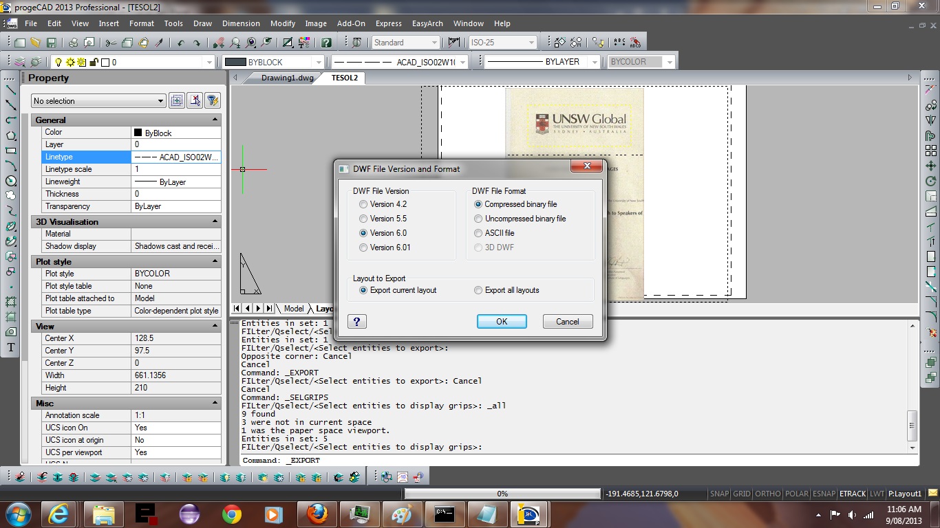
After giving FreeCAD a work out, and seeing that it was pretty good, went with the advice of Best Free CAD Computer Aided Design Programs and luckily landed on a great CAD product to use to show you what a CAD application with excellence looks like. So our tutorial focuses on a product called progeCAD Smart!. Do agree that it is very Smart! So maybe you should ?
Let’s have a look at Wikipedia discussion of CAD below, and enjoy the tutorial.
Computer-aided design (CAD) is the use of computer systems to assist in the creation, modification, analysis, or optimization of a design.[1] CAD software is used to increase the productivity of the designer, improve the quality of design, improve communications through documentation, and to create a database for manufacturing.[2] CAD output is often in the form of electronic files for print, machining, or other manufacturing operations.
Computer-aided design is used in many fields. Its use in electronic design is known as Electronic Design Automation, or EDA. In mechanical design, it is also known as computer-aided drafting (CAD) which describes the process of creating a technical drawing with the use of computer software.[3]
CAD software for mechanical design uses either vector based graphics to depict the objects of traditional drafting, or may also produce raster graphics showing the overall appearance of designed objects. However, it involves more than just shapes. As in the manual drafting of technical and engineering drawings, the output of CAD must convey information, such as materials, processes, dimensions, and tolerances, according to application-specific conventions.
CAD may be used to design curves and figures in two-dimensional (2D) space; or curves, surfaces, and solids in three-dimensional (3D) space.[4]
CAD is an important industrial art extensively used in many applications, including automotive, shipbuilding, and aerospace industries, industrial and architectural design, prosthetics, and many more. CAD is also widely used to produce computer animation for special effects in movies, advertising and technical manuals, often called DCC Digital content creation. The modern ubiquity and power of computers means that even perfume bottles and shampoo dispensers are designed using techniques unheard of by engineers of the 1960s. Because of its enormous economic importance, CAD has been a major driving force for research in computational geometry, computer graphics (both hardware and software), and discrete differential geometry.[5]
The design of geometric models for object shapes, in particular, is occasionally called computer-aided geometric design (CAGD).[6]
While the goal of automated CAD systems is to increase efficiency, they are not necessarily the best way to allow newcomers to understand the geometrical principles of Solid Modeling. For this, scripting languages such as PLaSM (Programming Language of Solid Modeling) are more suitable.
Link to my personal experience with MicroStation MDL here.
If this was interesting you may be interested in this too.


