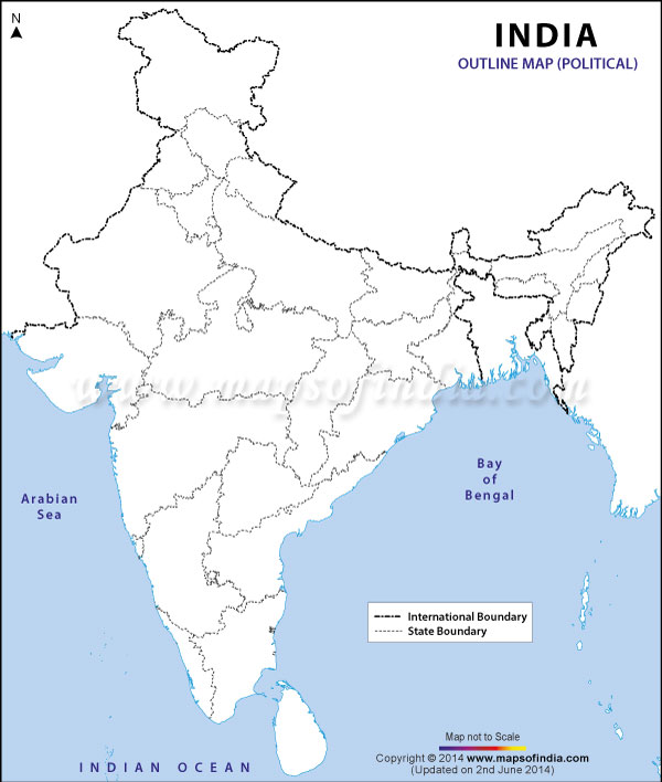
India
Hover over Indian map states for Famous People and/or Wikipedia information to right (thanks)
Click/touch Indian map state for Web information on new webpage
Tamil Nadu
Kerala
Goa
Jammu and Kashmir
Himachal Pradesh
Punjab
Uttarakhand
NCTND
Haryana
Uttar Pradesh
Bihar
Jharkhand
West Bengal
Sikkim
Arunachal Pradesh
Tripura
Meghalaya
Assam
Odisha
Chhattisgarh
Telangana
Andhra Pradesh
Karnataka
Maharashtra
Madhya Pradesh
Gujarat
Rajasthan
Mizoram
Manipur
Nagaland
Google Chart
ideas
below ...
Select Indian State Google Map ...
Tamil Nadu
Kerala
Goa
Jammu and Kashmir
Himachal Pradesh
Punjab
Uttarakhand
National Capital Territory of New Delhi
Haryana
Uttar Pradesh
Bihar
Jharkhand
West Bengal
Sikkim
Arunachal Pradesh
Tripura
Assam
Odisha
Chhattisgarh
Telangana
Andhra Pradesh
Karnataka
Maharashtra
Madhya Pradesh
Gujarat
Rajasthan
Mizoram
Manipur
Nagaland
Select Column/Area/Bar chart ...
Column Chart ...
Bar Chart ...
Area Chart ...
Thanks to
Wikipedia
...
Uttar Pradesh
उत्तर प्रदेश
اتر پردیش
State of India
Southern view of the
Taj Mahal
Coat of arms
Location of Uttar Pradesh (marked in red) in
India
Map of Uttar Pradesh
Coordinates:
26°51′N
80°55′E
/
26.85°N 80.91°E
/
26.85; 80.91
Coordinates
:
26°51′N
80°55′E
/
26.85°N 80.91°E
/
26.85; 80.91
Country
India
Region
Awadh
,
Baghelkhand
,
Braj
,
Bundelkhand
,
Doab
,
Purvanchal
,
Rohilkhand
Established
Modern: 1805 (as
Ceded and Conquered Provinces
)
History
Summary