India

  • Hover over Indian map states for Famous People and/or Wikipedia information to right (thanks)
  • Click/touch Indian map state for Web information on new webpage
click map Tamil Nadu Kerala Goa Jammu and Kashmir Himachal Pradesh Punjab Uttarakhand National Capital Territory of New Delhi Haryana Uttar Pradesh Bihar Jharkhand West Bengal Sikkim Arunachal Pradesh Tripura Meghalaya Assam Odisha Chhattisgarh Telangana Andhra Pradesh Karnataka Maharashtra Madhya Pradesh Gujarat Rajasthan Mizoram Manipur Nagaland

Google Chart ideas below ...

Thanks to Wikipedia ...

Andhra Pradesh
ఆంధ్ర ప్రదేశ్
State of India
Montage of Andhra Pradesh  Clockwise from top left: Visakhapatnam Port view, Godavari Arch Bridge (Rajahmundry), Prakasam Barrage (Vijayawada), Pulicat Lake and Barrier Island of SHAR (Sriharikota, Nellore), Tirumala temple (Tirupati), Telugu Talli statue and Konda Reddy Fort in background (Kurnool).
Montage of Andhra Pradesh
Clockwise from top left: Visakhapatnam Port view, Godavari Arch Bridge (Rajahmundry), Prakasam Barrage (Vijayawada), Pulicat Lake and Barrier Island of SHAR (Sriharikota, Nellore), Tirumala temple (Tirupati), Telugu Talli statue and Konda Reddy Fort in background (Kurnool).
Official logo of Andhra Pradesh
Logo
Nickname(s): Rice Bowl of India,[1]
Egg bowl of Asia[2]
Location of Andhra Pradesh (marked in red) in India
Coordinates (Guntur): 16°30′N 80°38′E / 16.50°N 80.64°E / 16.50; 80.64Coordinates: 16°30′N 80°38′E / 16.50°N 80.64°E / 16.50; 80.64
Country India
Region South India
Established 1 October 1953; 61 years ago (1953-10-01) (first established)[3]
1 November 1956; 58 years ago (1956-11-01) (re-organised for 1st time).
2 June 2014; 6 months ago (2014-06-02) (re-organised for 2nd time)[4]
Capital city Hyderabad
Largest city Visakhapatnam
Districts 13
Government
 • Governor E. S. L. Narasimhan
 • Chief Minister Nara Chandrababu Naidu (TDP)
 • Legislature Bicameral (175 + 50 seats)
 • Lok sabha constituencies 25
 • High Court High Court of Judicature at Hyderabad
Area
 • Total 160,205 km2 (61,855 sq mi)
Area rank 8th
Population (2011)[5]
 • Total 49,386,799
 • Rank 10th
 • Density 308/km2 (800/sq mi)
Demonym Andhrite
Time zone IST (UTC+05:30)
UN/LOCODE AP
Vehicle registration AP
Coastline 972 kilometres (604 mi)
Literacy 67.41%[6]
Official language Telugu[7]
Website AP State Portal

^† The Andhra Pradesh Reorganisation Act, 2014 states that Hyderabad is joint capital of both Telangana and Andhra Pradesh states for a period of time not exceeding 10 years. A new capital is planned to be developed in Guntur District, between Guntur and Vijaywada.[8]

Symbols of Andhra Pradesh
Emblem Poorna kumbham
Language Telugu
Song Maa Telugu Talliki
Dance Kuchipudi
Animal Blackbuck
Bird Indian Roller
Flower Water Lily
Fruit Mango
Tree Neem
Sport Kabbaddi

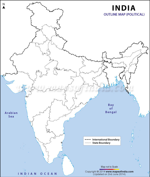
Andhra Pradesh (/ˌɑːndrə prəˈdɛʃ/) is one of the 29 states of India, situated on the country's southeastern coast. The state is the eighth largest state in India covering an area of 160,205 km2 (61,855 sq mi).[9] According to 2011 census, the state is tenth largest by population with 49,386,799 inhabitants. The new capital of Andhra pradesh is in Guntur District east of Guntur City.[10][11][12] and will be developed under a new Capital Region Development Authority.[13] As per Andhra Pradesh Reorganisation Act, 2014, Hyderabad will remain the de jure capital of both Andhra Pradesh and Telangana states for a period of time not exceeding 10 years.[14]

The state has the second longest coastline of 972 km (604 mi) among all the states of India, second only to Gujarat.[15] It borders Telangana in the northwest, Chhattisgarh in the North, Odisha in the northeast, Karnataka in the west, Tamil Nadu in the south and the water body of Bay of Bengal in the east. A small enclave of 30 km2 (12 sq mi) of Yanam, a district of Pondicherry, lies in the Godavari delta to the northeast of the state.[16]

There are two regions in the state namely Coastal Andhra and Rayalaseema and hence, the two regions are more often referred as Seemandhra by the news media. There are 13 districts with 9 in Coastal Andhra and 4 in Rayalaseema. Visakhapatnam is the largest city and a commercial hub of the state with a GDP of $26 billion followed by Vijayawada with a GDP of $3 billion.[17][18] Guntur, Nellore, Kurnool, Tirupati, Kakinada , Rajahmundry , Ongole and Eluru are other important cities.

The state is endowed with a variety of physio-graphic features ranging from Eastern Ghats, Nallamala Forest, Coastal plains to deltas of two major rivers of Krishna and Godavari. The state is the largest producer of rice in India, and hence, it is nicknamed as The Rice Bowl of India. Telugu, which is one of the classical languages in India is the official language of the state. It is also rich in culture with various pilgrimage destinations of importance like Tirumala temple, alongside a host of historical monuments to the tourists.

Contents