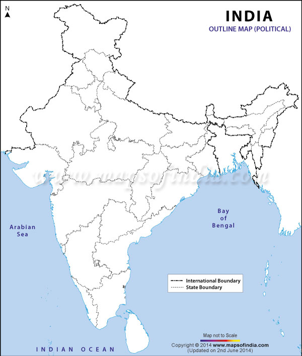
India
Hover over Indian map states for Famous People and/or Wikipedia information to right (thanks)
Click/touch Indian map state for Web information on new webpage
Tamil Nadu
Kerala
Goa
Jammu and Kashmir
Himachal Pradesh
Punjab
Uttarakhand
NCTND
Haryana
Uttar Pradesh
Bihar
Jharkhand
West Bengal
Sikkim
Arunachal Pradesh
Tripura
Meghalaya
Assam
Odisha
Chhattisgarh
Telangana
Andhra Pradesh
Karnataka
Maharashtra
Madhya Pradesh
Gujarat
Rajasthan
Mizoram
Manipur
Nagaland
Google Chart
ideas
below ...
Select Indian State Google Map ...
Tamil Nadu
Kerala
Goa
Jammu and Kashmir
Himachal Pradesh
Punjab
Uttarakhand
National Capital Territory of New Delhi
Haryana
Uttar Pradesh
Bihar
Jharkhand
West Bengal
Sikkim
Arunachal Pradesh
Tripura
Assam
Odisha
Chhattisgarh
Telangana
Andhra Pradesh
Karnataka
Maharashtra
Madhya Pradesh
Gujarat
Rajasthan
Mizoram
Manipur
Nagaland
Select Column/Area/Bar chart ...
Column Chart ...
Bar Chart ...
Area Chart ...
Thanks to
Wikipedia
...
Rajasthan
राजस्थान
State of India
Location of Rajasthan in
India
Map of Rajasthan
Coordinates (
Jaipur
):
26°34′22″N
73°50′20″E
/
26.57268°N 73.83902°E
/
26.57268; 73.83902
Coordinates
:
26°34′22″N
73°50′20″E
/
26.57268°N 73.83902°E
/
26.57268; 73.83902
Country
India
Established
1 November 1956
Capital
Jaipur
Largest city
Jaipur
Districts
33 total
Government
•
Governor
Kalyan Singh
•
Chief Minister
Vasundhara Raje
(
BJP
)
•
Legislature
Unicameral
(200 seats)
•
Parliamentary
constituency
25
•
High Court
Rajasthan High Court
Area
• Total
342,239 km
2
(132,139 sq mi)
Area rank
1st
Population
(2011)
• Total
68,621,012
• Rank
8th
• Density
201/km
2
(520/sq mi)
Time zone
IST
(
UTC+05:30
)
ISO 3166 code
IN-RJ
HDI
0.637 (
medium
)
HDI rank
21st
(2005)
Literacy
67.68%
76.28% (male)
51.18% (female)
Official languages
Hindi
a
Website
rajasthan.gov.in
a
Punjabi
and Rajasthani are not official languages of Rajasthan, despite being widely spoken regional languages.
[
citation needed
]