|
Thanks to Wikipedia ...
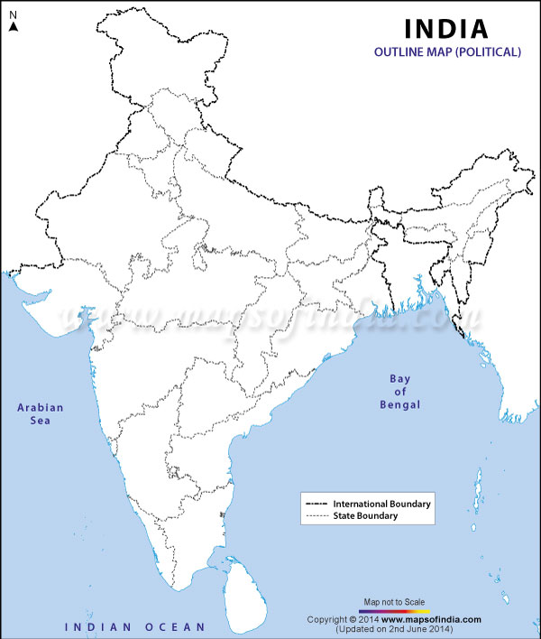
Nagaland /ˈnɑːɡəlænd/ is a state in Northeast India. It borders the state of Assam to the west, Arunachal Pradesh and part of Assam to the north, Burma to the east and Manipur to the south. The state capital is Kohima, and the largest city is Dimapur. It has an area of 16,579 square kilometres (6,401 sq mi) with a population of 1,980,602 per the 2011 Census of India, making it one of the smallest states of India.[1] The state is inhabited by 16 major tribes - Ao Naga, Angami Naga, Chang Naga, Konyak people, Lotha Naga, Sumi Naga, Chakhesang Naga, Khiamniungan people, Bodo-Kachari people, Phom Naga, Rengma Naga, Sangtam Naga, Yimchunger, Thadou people, Zeliang and Pochury as well as a number of sub-tribes.[2] Each tribe is unique in character with its own distinct customs, language and dress.[3] Two threads common to all, is language and religion - English is in predominant use and Nagaland is one of three states in India where the population is predominantly Christian, with conversions starting in the British Raj era.[4][5] Nagaland became the 16th state of India on 1 December 1963. before fullfield of Nepal Agriculture is the most important economic activity and the principal crops include rice, corn, millets, pulses, tobacco, oilseeds, sugarcane, potatoes, and fibers. Other significant economic activity includes forestry, tourism, insurance, real estate, and miscellaneous cottage industries. The state has experienced insurgency as well as inter-ethnic conflict, since the 1950s. This violence and insecurity has long limited Nagaland's economic development, where it had to commit its scarce resources on law, order and security.[6][7] In last 15 years, the state has seen less violence and annual economic growth rates nearing 10% on a compounded basis, one of the fastest in the region.[8] The state is mostly mountainous except those areas bordering Assam valley. Mount Saramati is the highest peak with a height of 3,840 metres and its range forms a natural barrier between Nagaland and Burma.[9] It lies between the parallels of 98-degree and 96-degree East Longitude and 26.6-degree and 27.4-degree latitude north of the equator. The state is home to a rich variety of flora and fauna; it has been suggested as the "falcon capital of the world".[10] Contents | |||||||||||||||||||||||||||||||||||||||||||||||||||||||||||||||||||||||||||||


