|
Thanks to Wikipedia ...
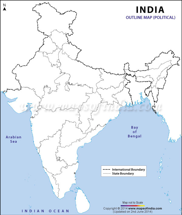
Bihar (/bɨˈhɑr/; Hindi: बिहार, Urdu: بہار, Hindustani pronunciation: [bɪˈɦaːr]) is a state in Northern India.[4][5] It is the 12th largest state in terms of geographical size of 38,202 sq mi (98,940 km2) and 3rd largest by population. It is bounded by Uttar Pradesh to its west, Nepal to the north, the northern part of West Bengal to the east, and by Jharkhand to the south. The Bihar plain is divided into two parts by the river Ganges which flows from west to east.[6] Bihar has forest area of 6,764.14 km2,[7] which is 7.2% of its geographical area. In 2000, southern Bihar was separated from Bihar to form the new state state of Jharkhand.[8] Close to 85% of the population lives in villages. Almost 58% of Biharis are below the age of 25,[9] which is the highest proportion in India. Bihar was a centre of power, learning and culture in ancient and classical India.[10] From Magadha arose India's first and greatest empire, the Maurya empire, as well as one of the world's most widely adhered-to religions, Buddhism.[11] Magadha empires, notably under the Maurya and Gupta dynasties, unified large parts of South Asia under a central rule.[12] Its capital Patna, earlier known as Pataliputra, was an important centre of Indian civilization. Close to Patna, Nalanda and Vikramshila were centres of learning which were established in the 5th and 8th century respectively in Bihar, and are counted as amongst the oldest international universities of the time. Since the late 1970s, Bihar has lagged behind other Indian states in terms of its social and economic development.[13][14][15] Economists and social scientists claimed that this is a direct result of the policies of the central government, such as the Freight equalization policy,[16][17] its apathy towards Bihar,[9][18][19] lack of Bihari sub-nationalism (resulting in no spokesperson for the state),[17][20][21] and the Permanent Settlement of 1793 by the British East India Company.[17] The state government has however made significant strides in developing the state.[22] The improved governance has led to an economic revival[23] in the state through increased investment in infrastructure, better health care facilities, greater emphasis on education, and a diminution in crime and corruption.[24][25] Contents | |||||||||||||||||||||||||||||||||||||||||||||||||||||||||||||||||||||||||||||||||||||||||||||


