Telangana
తెలంగాణ
تلنگانہ |
| State of India |

Montage of Telangana.
Clockwise from top left: Charminar, painting of Lord Rama at Bhadrachalam, Kacheguda Railway Station, Bhongir Fort, Buddha statue in Hussain sagar, NTPC Ramagundam Super Thermal Power Station. |
|
|
| Anthem: Jaya Jaya He Telangana Janani Jayakethanam |

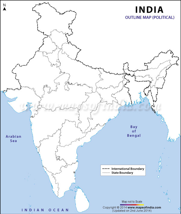
Location of Telangana (marked in red) in India |
| Coordinates (Hyderabad): 17°21′58″N 78°28′34″E / 17.366°N 78.476°E / 17.366; 78.476Coordinates: 17°21′58″N 78°28′34″E / 17.366°N 78.476°E / 17.366; 78.476 |
| Country |
India |
| Region |
South India |
| Established |
2 June 2014 |
| Capital |
Hyderabad† |
| Largest city |
Hyderabad |
| Districts |
10 |
| Government |
| • Governor |
E. S. L. Narasimhan |
| • Chief minister |
Kalvakuntla Chandrashekar Rao (TRS) |
| • Legislature |
Bicameral (119 + 40 seats) |
| • Lok Sabha constituencies |
17 |
| • High Court |
High Court of Judicature at Hyderabad |
| Area† |
| • Total |
114,840 km2 (44,340 sq mi) |
| Area rank |
12th |
| Population (2011)[1] |
| • Total |
35,193,978 |
| • Rank |
12th |
| • Density |
310/km2 (790/sq mi) |
| Demonym |
Telanganite |
| Time zone |
IST (UTC+05:30) |
| ISO 3166 code |
IN-xx (not assigned) |
| Vehicle registration |
TS[2] |
| Literacy |
66.50%[1] |
| Official language |
Telugu, Urdu |
| Website |
telangana.gov.in |
|
^† Temporary Joint Capital with Andhra Pradesh
|
| Symbols of Telangana |
| Emblem |
Kakatiya Toranam, Charminar |
| Language |
Telugu |
| Song |
Jaya Jaya He Telangana Janani Jayakethanam |
| Animal |
Deer |
| Bird |
Palapitta (Indian Roller) |
| Flower |
Tangedu Puvvu |
| Fruit |
Mango |
| Tree |
Jammi tree |
| River |
Godavari |
| Sport |
Kabbaddi |
Telangana ( i//) is a state in the Southern region of India. It has an area of 114,840 km2 and is the twelfth largest state in India. Most of it was part of the princely state of Hyderabad (Medak and Warangal Divisions), ruled by the Nizam of Hyderabad during the British Raj, joining the Union of India in 1948. On 2 June 2014, Telangana was formed from Andhra Pradesh as a new 29th state of India, with the city of Hyderabad as its capital.[3] Hyderabad will continue to serve as the joint capital city for Andhra Pradesh and Telangana for a period of not more than ten years.
Telangana is bordered by the states of Maharashtra and Chhattisgarh to the north, Karnataka to the west, and Andhra Pradesh to the south and east.[4] Telangana has an area of 114,840 square kilometres (44,340 sq mi), and a population of 35,286,757 (2011 census).[5] Its major cities include Hyderabad, Warangal, Nizamabad, and Karimnagar.