To study file extensions is to study Information Technology. A curiosity is all it takes, in this day and age of looking things up in search engines, to have something as innocuous as a file extension you’ve never heard of, to potentially open up a “Pandora’s Box” of discoveries.
So it was for us recently scouring that wonderful source of data that data.gov is when we came across a downloadable button with a title of “shp” in the context of a “data subject” related to the “where” of life. This in turn led us onto Spatially harmonized first-level geography …
Minnesota Population Center. Integrated Public Use Microdata Series, International: Version 7.0 [dataset]. Minneapolis, MN: IPUMS, 2018. https://doi.org/10.18128/D020.V7.0.
… and another, link this time, to “shp” downloadable data. Have you ever heard of the “shp” file extension? We hadn’t, so started out on our quest for knowledge feeding into Google …
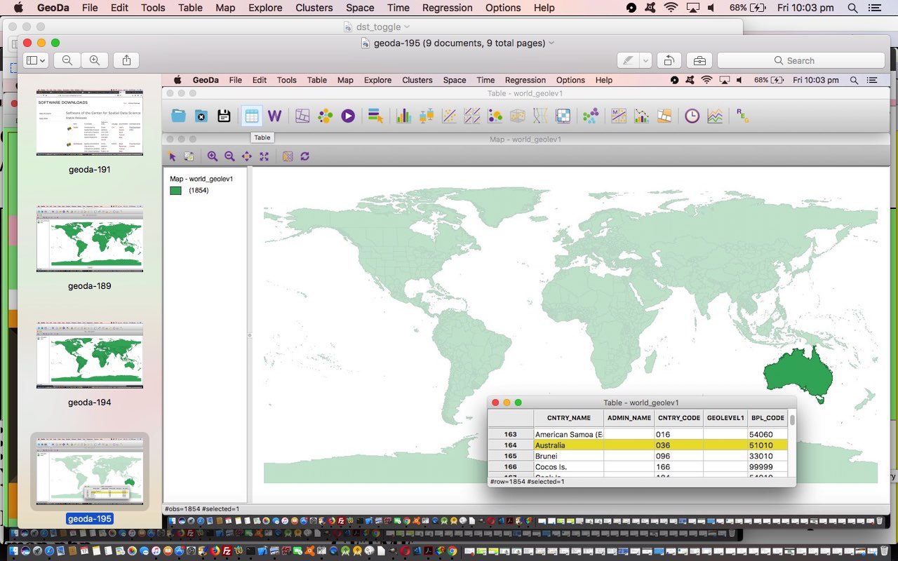
… and got rewarded for all Google efforts, thanks, finding out that the shapefile format is a geospatial vector data format for geographic information, and with this great lead called “13 Free GIS Software Options: Map the World in Open Source” where we roadtested a few of the suggested GeoData or GIS (Geographic information system) applications, looking for one suitable for an entry level participant like myself. And that’s how we lobbed onto the wonderful GeoDa desktop application we installed to this MacBook Pro’s applications and want to show you a stream of consciousness PDF slideshow regarding, specifically, using and access that previous downloadable link’s data. Maybe you are like me, and love maps? Well, this could be the entry level GeoData desktop application for you too.
It’s fine to be “entry level” but where could you start a further study of the GeoData subject matter? Why not start with How to Learn GIS? Then there’s “Why would you learn GIS”? Well, GIS is used extensively in Town Planning and for other purposes by Local Councils in particular, and in scientific research as well.
We go on about “entry level” a lot above because yours truly came from a time of university learning when GIS was a huge deal, and not anything you just download as an “entry level” piece of software in any form. This was also a time when CAD (Computer Aided Design) was like this as well. More than thirty years has made huge difference in these fields, my personal theory being that the “where” of life is the most approachable “question field” for software developers to make some pretty nifty and eye-catching and immediately useful software.
If this was interesting you may be interested in this too.


